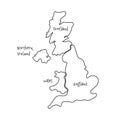
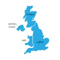
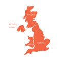
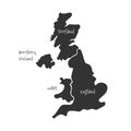
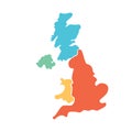
united kingdom aka great britain and northern ireland hand drawn blank map divided four countries england |
||||||||||||||||||||||||||||||||||||||||
| navigate by keyword : area art banner black border boundary britain business channel classify contour country divide drawn education england ensign eps10 europe flat geography hand handdrawn icon illustration info ireland island isle isolated kingdom land line map northern outline part scotland simple smooth united vector white |
||||||||||||||||||||||||||||||||||||||||
|
||||||||||||||||||||||||||||||||||||||||
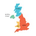
| United Kingdom, aka UK, of Great Britain and Northern Ireland hand-drawn blank map. Divided to four countries - England, Wales, Scotland and NI. Simple flat vector illustration. |
||||||||||||||||||||||||||||||||||||||||
|
Stockphotos.ro (c) 2025. All stock photos are provided by Dreamstime and are copyrighted by their respective owners. |
||||||||||||||||||||||||||||||||||||||||