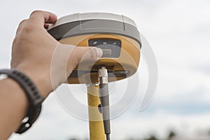
surveyor sets global navigation satellite system gnss receiver real time kinematic rtk geodetic surveying equipment

navigate by keyword : accuracy accurate antenna asia asian connection data device digital electronic engineer equipment field filipino geodesy geodetic geolocation global gnss gps information install kinematic land machine man measure mobile navigation operations outdoor philippines plot position profession professional real time realtime receiver rtk satellite sets setup signal site surveying surveyor system technical technology terrestrial tool tripod used work

A surveyor sets up a Global Navigation Satellite System or GNSS Receiver. Real-time kinematic or RTK geodetic surveying equipment Royalty Free Stock Photo


A surveyor sets up a Global Navigation Satellite System or GNSS Receiver. Real-time kinematic or RTK geodetic surveying equipment


A surveyor sets up a Global Navigation Satellite System or GNSS Receiver. Real-time kinematic or RTK geodetic surveying equipment used in the field.


Stockphotos.ro (c) 2025. All stock photos are provided by Dreamstime and are copyrighted by their respective owners.