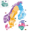
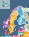
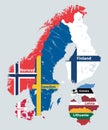
scandinavia and baltic countries political detailed map vector illustration

navigate by keyword : scandinavia baltic regions countries political detailed map capital land travel city illustration country cartography copenhagen denmark europe finland geography helsinki iceland lapland north norway scandinavian stockholm sweden vector estonia latvia lithuania russia tourism administrative divisions

Scandinavia and Baltic countries political detailed map. Vector illustration Royalty Free Stock Photo
Europe political map with countries and borders Royalty Free Stock Photo
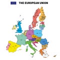
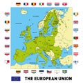
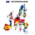
Vector map of The European Union Royalty Free Stock Photo
   
   
Scandinavia and Baltic countries political detailed map. Vector illustration
Vector map of The European Union Royalty Free Stock Photo
   
   
A detailed print of Europe, suitable for educational or decorative purposes. Royalty Free Stock Photo
Vector map of The European Union Royalty Free Stock Photo
Scandinavia and Baltic regions countries political detailed map.


Stockphotos.ro (c) 2025. All stock photos are provided by Dreamstime and are copyrighted by their respective owners.