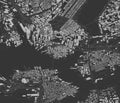
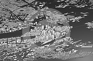
satellite view boston map the city with house and building skyscrapers massachusetts usa

navigate by keyword : administrative aerial america american area atlas background black border boston building cambridge capital cartography city district downtown geography harbor highways house location map massachusetts metropolitan neighborhoods outline park plan quincy region rendering renderingn retro river road roads satellite silhouette simple skyscrapers states street streets symbol town travel trip united urban urbanism usa vacation view vintage visit

Satellite view of Boston, map of the city with house and building. Skyscrapers. Massachusetts. Usa Royalty Free Stock Photo
   
   
Satellite view of Boston, map of the city with house and building. Skyscrapers. Massachusetts. Usa
Satellite view of Boston, map of the city with house and building. Skyscrapers. Massachusetts. Usa Royalty Free Stock Photo


Satellite view of Boston, map of the city with house and building. Skyscrapers. Massachusetts. Usa. 3d rendering


Stockphotos.ro (c) 2024. All stock photos are provided by Dreamstime and are copyrighted by their respective owners.