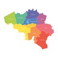
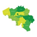
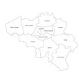
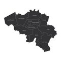
provinces belgium map regional country administrative divisions colorful vector illustration |
||||||||||||||||||||||||||||||||||||||||
navigate by keyword : administrative antwerp area background belgian belgium border brabant brussels cartography color colored colorful contour country county design divided division flanders flat flemish geography graphic hainaut illustration internal label liege limburg map modern name namur nation national outline province region regional shape silhouette simple simplified spectrum state territory valonia vector wallonia |
||||||||||||||||||||||||||||||||||||||||
|
||||||||||||||||||||||||||||||||||||||||
Provinces of Belgium. Map of regional country administrative divisions. Colorful vector illustration. |
||||||||||||||||||||||||||||||||||||||||
Stockphotos.ro (c) 2025. All stock photos are provided by Dreamstime and are copyrighted by their respective owners. |