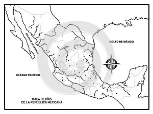
map mexico the rivers country with political division which used for school study geography

navigate by keyword : map mexico rivers country political division which used school study geography corriente natural agua que fluye permanentemente desembocar otra lago mar united states central america known its beaches pacific gulf diverse landscape mountains deserts jungles

Map of Mexico, of the rivers of the country, with political division, which is used for school or to study geography Royalty Free Stock Photo


Map of Mexico, of the rivers of the country, with political division, which is used for school or to study geography


Mexico is a country between the United States and Central America, known for its beaches on the Pacific and the Gulf of Mexico, and its diverse landscape of mountains, deserts, and jungles.


Stockphotos.ro (c) 2025. All stock photos are provided by Dreamstime and are copyrighted by their respective owners.