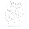
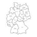
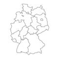
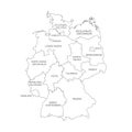
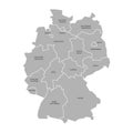
germany map with federal states black and white vector illustration |
||||||||||||||||||||||||||||||||||||||||
navigate by keyword : vector icon germany map federal states outline black white monochrome silhouette country geographic political administrative divisions border shape contour europe european deutschland graphic symbol minimalist simple clean modern template blank empty isolated background design element infographic presentation education geography travel tourism location destination region territory cartography atlas nation national global |
||||||||||||||||||||||||||||||||||||||||
|
||||||||||||||||||||||||||||||||||||||||
A versatile vector illustration featuring two minimalist maps of Germany, clearly outlining its national borders and internal federal states. One map is presented in black on a white background, while the other is a white silhouette on a black background, offering high contrast and flexibility. This clean graphic is ideal for educational materials, geopolitical presentations, travel guides, websites, infographics, and any project requiring a clear, modern representation of German geography and administrative divisions. Perfect for highlighting regions, data visualization, or general country identification. |
||||||||||||||||||||||||||||||||||||||||
Stockphotos.ro (c) 2025. All stock photos are provided by Dreamstime and are copyrighted by their respective owners. |