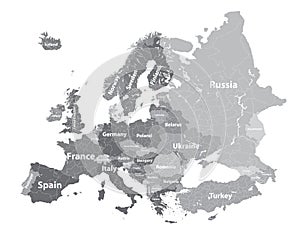
europe vector high detailed political map with regions borders and countries names all elements separated detac |
||||||||||||||||||||||||||||||||||||||||
navigate by keyword : austria balkan balkans belgium benelux borders bosnia britain central colourful continent countries croatia denmark detac detachable detailed detaoled east elements europe european finland flags france geography germany globalization great greece grey herzegovina high iceland ireland italy kingdom layers luxembourg names netherlands norway poland political portugal regions scales scandinavia scandinavian separated spain sweden switzerland turkey union united vector west with |
||||||||||||||||||||||||||||||||||||||||
|
||||||||||||||||||||||||||||||||||||||||
Europe vector high detailed political map in grey scales with regions borders and countries names. All elements separated in detachable layers |
||||||||||||||||||||||||||||||||||||||||
Stockphotos.ro (c) 2025. All stock photos are provided by Dreamstime and are copyrighted by their respective owners. |