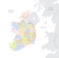
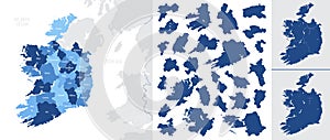
detailed vector blue map ireland with administrative divisions country |
||||||||||||||||||||||||||||||||||||||||
navigate by keyword : administrative area atlas background border cartography city clare connacht cork counties country county detailed districts donegal dublin dun europe flag galway geography ireland kerry kilkenny laoghaire leinster leitrim limerick londonderry map meath monaghan munster national oblast political province provinces rathdown regions republic roscommon sligo state topographic travel vector westmeath wexford |
||||||||||||||||||||||||||||||||||||||||
|
||||||||||||||||||||||||||||||||||||||||
Detailed, vector, blue map of Ireland with administrative divisions country, for your design |
||||||||||||||||||||||||||||||||||||||||
Stockphotos.ro (c) 2025. All stock photos are provided by Dreamstime and are copyrighted by their respective owners. |