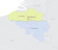
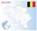
detailed location map belgium europe with administrative divisions the country vector illustration |
||||||||||||||||||||||||||||||||||||||||
navigate by keyword : administrative antwerp area atlas background belgian belgium blue border bruges brussels capital cartography charleroi chocolate city colored country department design detailed divisions europa europe flag flanders flemish geography ghent globe graphic icon illustration land liauml limbur location map nation national north outline province region regions sea states symbol tourism travel vector walloon west your |
||||||||||||||||||||||||||||||||||||||||
|
||||||||||||||||||||||||||||||||||||||||
Detailed location map of Belgium in Europe with administrative divisions of the country, vector illustration, for your design |
||||||||||||||||||||||||||||||||||||||||
Stockphotos.ro (c) 2025. All stock photos are provided by Dreamstime and are copyrighted by their respective owners. |