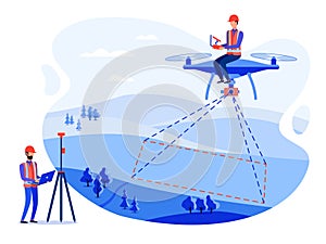
concept cadastral engineers surveyors and cartographers make geodetic measurements using drone copter

navigate by keyword : architecture building business cadastral cartographer cartography cartoon character civil concept construction copter design drone engineer engineering equipment flat geodesy geographic geology gps helmet hill illustration industry instrument land landscape level map measure measuring navigation optical people professional research safety science survey surveyor tacheometer technology theodolite tool topography tree work

Concept engineers surveyors and cartographers make geodetic measurements using a drone isometric map copter and theodolite Royalty Free Stock Photo
Concept engineers surveyors and cartographers make geodetic measurements using a drone copter and theodolite Royalty Free Stock Photo
Concept cadastral engineers, surveyors and cartographers make geodetic measurements using a drone, copter Royalty Free Stock Photo


Concept cadastral engineers, surveyors and cartographers make geodetic measurements using a drone, copter


Concept cadastral engineers, surveyors and cartographers make geodetic measurements using a drone, copter. Vector flat illustration


Stockphotos.ro (c) 2025. All stock photos are provided by Dreamstime and are copyrighted by their respective owners.