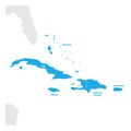
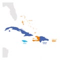
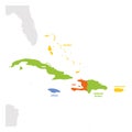
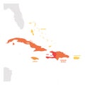
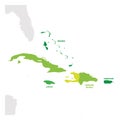
caribbean region map countries sea central america vector illustration |
||||||||||||||||||||||||||||||||||||||||
| navigate by keyword : america american antilles atlas background bahamas border business caribbean cartography central computer continent country cuba design dominican focus focused geography geopolitical global graphic gray greater green grey group gulf haiti highlight illustration isolated jamaica labeling land map mexican outline political region regional republic sea spectrum state subregion travel vector world |
||||||||||||||||||||||||||||||||||||||||
|
||||||||||||||||||||||||||||||||||||||||
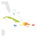
| Caribbean Region. Map of countries in Caribbean Sea in Central America. Vector illustration. |
||||||||||||||||||||||||||||||||||||||||
|
Stockphotos.ro (c) 2025. All stock photos are provided by Dreamstime and are copyrighted by their respective owners. |
||||||||||||||||||||||||||||||||||||||||