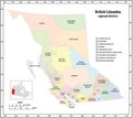
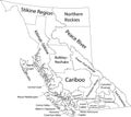
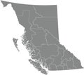
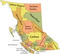
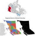
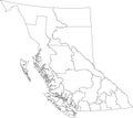
administrative vector map the canadian province british columbia |
||||||||||||||||||||||||||||||||||||||||
navigate by keyword : administrative america border british canada canadian cartography coast columbia contour coordinate country county design detailed district division geography government graphic illustration infographic island islands isolated location map mapping north northwest outline overview political province region river scale silhouette states territories travel vancouver vector victoria washington |
||||||||||||||||||||||||||||||||||||||||
|
||||||||||||||||||||||||||||||||||||||||
Administrative vector map of the Canadian province of British Columbia. |
||||||||||||||||||||||||||||||||||||||||
Stockphotos.ro (c) 2025. All stock photos are provided by Dreamstime and are copyrighted by their respective owners. |